
During the start of the winter break, temperatures stayed around 50 degrees Fahrenheit, before dipping to around 20 degrees on December 29. This period from the 22-29 of December shows high temperatures that exceed the average found by the National Oceanic and Atmospheric Administration.
The daily high temperatures for December decreased by seven degrees, from 50 to 43, rarely falling below 27 degrees or exceeding 64 degrees. According to the regional climate data, a data collection of predicted and climate calendars to accurately describe the weather events of different regions in America, says the range is slightly warmer than average in Kentucky. The mild stretch early in the month led many people to wait for their warmer clothes: boots, winter coats, scarfs, etc.. Meteorologists noted that these temperatures were part of a larger warm-cold pattern affecting much of the Midwest.
On the other hand, daily low temperatures decreased by six degrees, from 35 degrees to 29 degrees, barely falling below 13 degrees or going above 49 degrees. These colder lows created icy road conditions on several mornings. There were clear temperature changes from night to morning, with mornings being especially grueling for many.
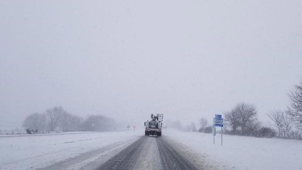
This diverse weather pattern for the last month came as a shock to many wanting to enjoy a snowy winter. That ideal weather came earlier in December, causing the two snow days on the 12th and 15th. Although not a lot of snow appeared in December, January has seen snowfall occasionally with windchill making the days colder than suggested.